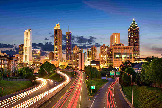
What is the best method for traveling from point A to point B? This is but another timeless question in civil engineering that transportation efficiency computer models attempt to answer, helping quantify mass transit effects and reducing the worst traffic jams along the way.
The Worst Traffic Jams
Traffic Jams Are Not Very Tasty
Reducing traffic congestion and increasing transportation efficiency has been the holy grail of mankind since the advent of five fingered hands. Indeed, it is said that the biggest difference between man and beast is that man has opposable thumbs. This nifty innovation helped us develop stereoscopic vision, higher intellect, mass transit, computer models, and cool power tools. These in turn allow us to hold a cup of coffee in one hand, grasp the steering wheel of a complex driving machine in the other, and explain on hands-free cellular why we are going to be late. We are going to be late because several thousand of us have decided that we need to get from where we were to where we want to be at the same moment in time, using transportation infrastructure that was designed to handle only several hundred such decisions simultaneously. Which creates another distinctly man made innovation: the traffic jam.
Mass Transit, Traffic Congestion, and Computer Models
Traffic Jam Models Do Not Wear Designer Clothing
Eliminating transportation bottle necks from modern life is not a straight forward issue. Population density shifts, changes in commercial and residential development, socio-economic factors, politics, mass transit availability, environmental considerations, and even telecommuting have an impact on traffic volume and flow, not to even mention holidays. Taking these and other factors into account has become a very complex undertaking, driving the need for predictive computer models to help optimize solutions. These models can be used by transportation planners to help determine the mobility, economic, safety, and even political value of proposed transportation projects in a given region.
Take a proposal for building a high speed bullet train, for example. The desired outcome is to move people very fast between stations using an energy efficient vehicle. These people must also have transport to and from stations. They must want to regularly travel to and from the regions that the stations are located in. They must be safe while doing so. They must be able to stay in touch. They may eat lunch. They probably will use restroom facilities. They must want to do all of this enough to fund the cost of the project through fees, taxes, bonds, and other investments. They must perceive great value in doing so. There must be well understood environmental impact. And so on.
To help grasp the total scenario, each item on the list of considerations may be given a score or value based on cost, desirability, predicted impact, ancillary effects, etc. and the aggregate score for the project determined. Alternative solutions such as adding roadways or airports can also be scored in a similar manner, and the relative value of each solution compared to each other. In an ideal world with perfect models, it would then be a simple matter of choosing the solution with the best overall score. Realistically, however, such modeling results are only used to influence and inform the overall project planning process.
Uses for Transportation Modeling Solutions
Traffic Jam Solutions, However, Are Usually Attractive
Other types of transportation models are also used. Specialized analysis of vehicular road traffic is used to time traffic lights, reduce commute congestion, reroute around accidents, even predict the “accordion effect,” that annoying bunching of traffic without any visible cause. Commercial airlines use sophisticated models to help determine desirable timing and routing of passengers and cargo. And with the advent of low cost GPS navigation units, we direct our opposable thumbs using our higher intellect to route us along modeled maps of the fastest, most direct, or stereoscopically scenic paths.


