The following methods are used to determine the difference in elevation of various points:
(i) Barometric levelling
(ii) Hypsometric levelling
(iii) Direct levelling and
(iv) Indirect levelling.
Barometric Levelling
This method depends on the principle that atmospheric pressure depends upon the elevation of place. Barometer is used to measure the atmospheric pressure and hence elevation is computed. However it is not accurate method since the atmospheric pressure depends upon season and temperature also. It may be used in exploratory surveys.
Hypsometric Levelling
This is based on the principle that boiling point of water decreases with the elevation of the place. Hence the elevation difference between two points may be found by noting the difference in boiling point of water in the two places. This method is also useful only for exploratory survey.
Direct Levelling
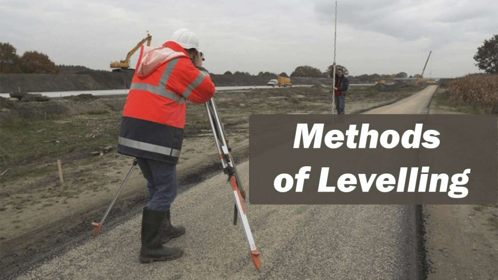
It is common form of levelling in all engineering projects. In this method horizontal sight is taken on a graduated staff and the difference in the elevation of line of sight and ground at which staff is held are found. Knowing the height of line of sight from the instrument station the difference in the elevations of instrument station and the ground on which staff is held can be found. This method is thoroughly
explained in next article.
Indirect Methods
In this method instruments are used to measure the vertical angles. Distance between the instrument and staff is measured by various methods. Then using trigonometric relations, the difference in elevation can be computed. This is considered beyond the scope of this book. One can find details of such methods in books on surveying and levelling.


