Posted inSurveying FUNDAMENTAL PRINCIPLES OF SURVEYING Posted by admin August 9, 2021 To get accurate results in surveying one should follow the following fundamental principles: (i) Work…
Posted inSurveying PRIMARY DIVISIONS IN SURVEYING Posted by admin August 9, 2021 The earth is an oblate spheroid, length of equatorial axis being 12756.75 km and polar…
Posted inSurveying OBJECT AND USES OF SURVEYING Posted by admin August 9, 2021 As stated in the definition, object of surveying is to show relative positions of various…
Posted inSurveying Introduction to Surveying Posted by admin August 9, 2021 Surveying is the art of making measurements of objects on, above or beneath the ground…
Posted inSurveying Measuring Principles Posted by admin August 9, 2021 Although there are many EDM instruments available, there are basically only two methods of measurement…
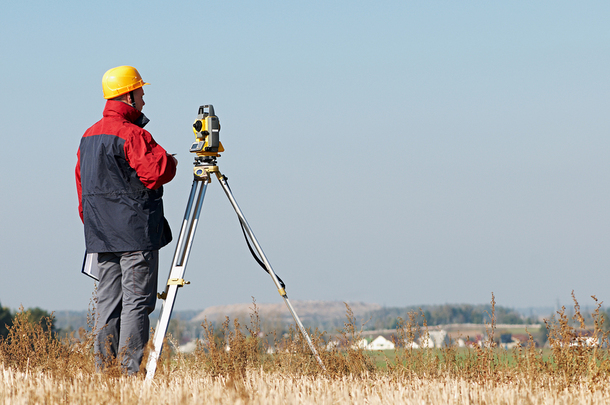
Posted inSurveying Field surveying Posted by admin August 9, 2021 Introduction This chapter is designed to introduce you to the various surveying techniques used to…
Posted inSurveying Distance Adjustment Posted by admin August 9, 2021 To eliminate or minimize the systematic errors of taping, it is necessary to adjust each…
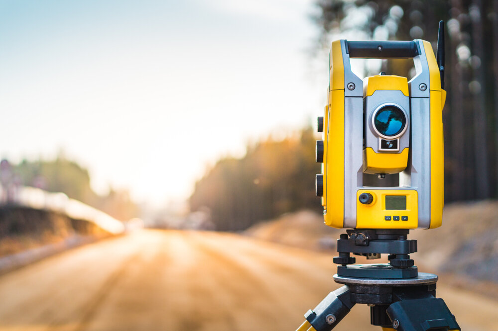
Posted inSurveying Distance measurement Posted by admin August 9, 2021 Distance is one of the fundamental measurements in surveying. Although frequently measured as a spatial…
Posted inSurveying EQUIPMENT Posted by admin August 9, 2021 The equipment used in the levelling process comprises optical levels and graduated staffs. Basically, the…
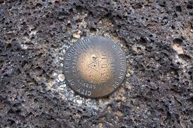
Posted inSurveying Bench mark (BM) Posted by admin August 9, 2021 In order to make OD accessible to all users throughout the country, a series of…