Posted inIntegrated Use of Space
The Use of GIS for Supporting the Experimental Representation of the Selected Supply Network in Pafos Municipality — ‘The Hydrogis Lab’.
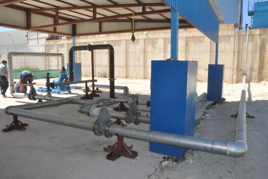
The HydroGIS Lab project (http://cyprusremotesensing.com/hydrogis/) aims to satisfy the dire need for authorities to solve…