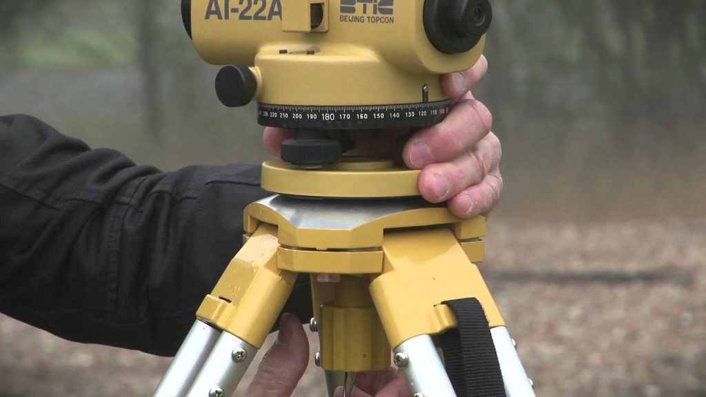
Posted inSurveying TEMPORARY ADJUSTMENTS OF A LEVEL Posted by admin August 9, 2021 The adjustments to be made at every setting of the instrument are called temporary adjustments.…
Posted inSurveying TERMS USED IN DIRECT METHOD OF LEVELLING Posted by admin August 9, 2021 The following terms are used in direct method of levelling: (i) Plane of Collimation: It is…
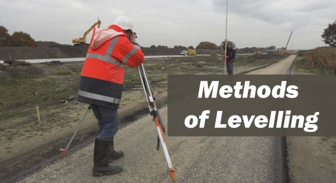
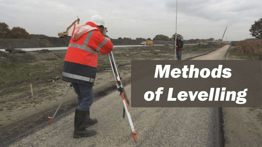
Posted inSurveying METHODS OF LEVELLING Posted by admin August 9, 2021 The following methods are used to determine the difference in elevation of various points: (i)…
Posted inSurveying Level and Levelling Posted by admin August 9, 2021 Elevation measurements Elevation measurements involve measurements in vertical plane. It is also known as levelling.…
Posted inSurveying ADVANTAGES AND LIMITATIONS OF PLANE TABLE SURVEY Posted by admin August 9, 2021 Advantages are 1. Possibility of omitting measurement is eliminated. 2. The surveyor can compare the…
Posted inSurveying ERRORS IN PLANE TABLE SURVEYING Posted by admin August 9, 2021 The errors may be grouped into the instrumental and personal errors. Instrumental Errors 1. The…
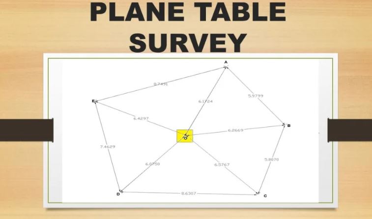
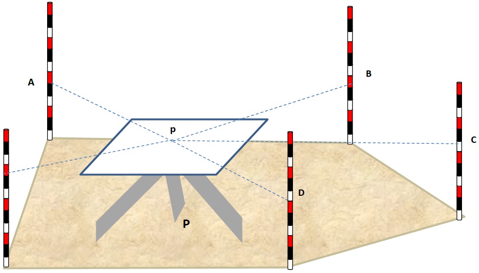
Posted inSurveying METHODS OF PLANE TABLING Posted by admin August 9, 2021 The following four methods are available for carrying out plane table survey: 1. Radiation 2.…
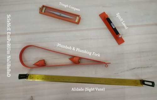
Posted inSurveying PLANE TABLE AND ITS ACCESSORIES Posted by admin August 9, 2021 The most commonly used plane table It consists of a well-seasoned wooden table Top mounted on a…
Posted inSurveying LOCAL ATTRACTION Posted by admin August 9, 2021 A freely suspended and properly balanced magnetic needle is expected to show magnetic meridian.However, local objects…
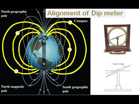
Posted inSurveying DECLINATION AND DIP Posted by admin August 9, 2021 The magnetic meridian and the true meridian may not coincide with each other in a…