Posted inTransportation Engineering Lighthouse Posted by admin August 9, 2021 Lighthouse, structure, usually with a tower, built onshore or on the seabed to serve as…
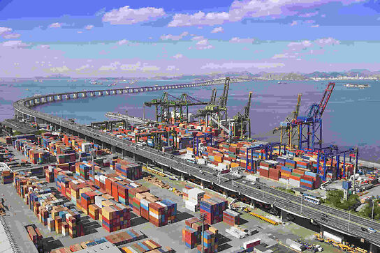
Posted inTransportation Engineering Harbours and sea works Posted by admin August 9, 2021 Harbours and sea works, harbour also spelled harbor, any part of a body of water and…
Posted inTransportation Engineering Canals and inland waterways Posted by admin August 9, 2021 Canals and inland waterways, natural or artificial waterways used for navigation, crop irrigation, water supply, or drainage. Despite modern…
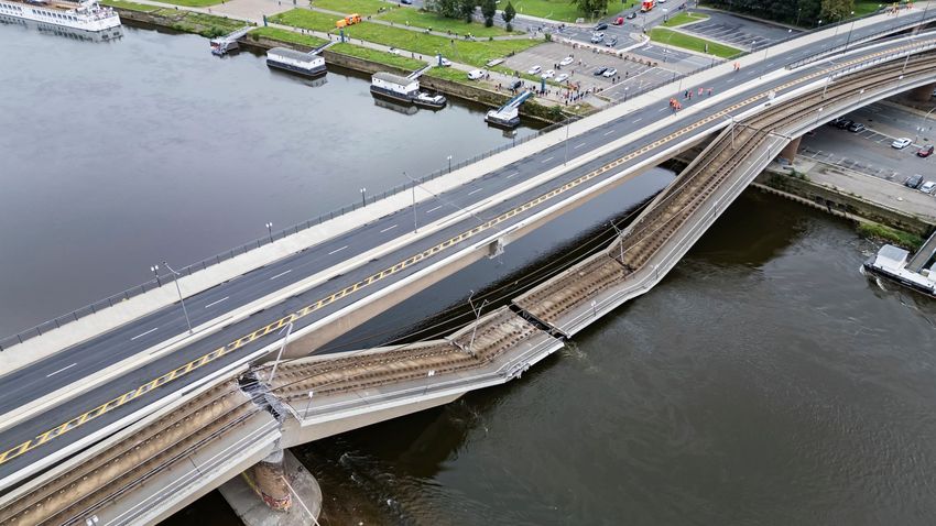
Posted inTransportation Engineering Bridge Posted by admin August 9, 2021 Bridge, structure that spans horizontally between supports, whose function is to carry vertical loads. The…
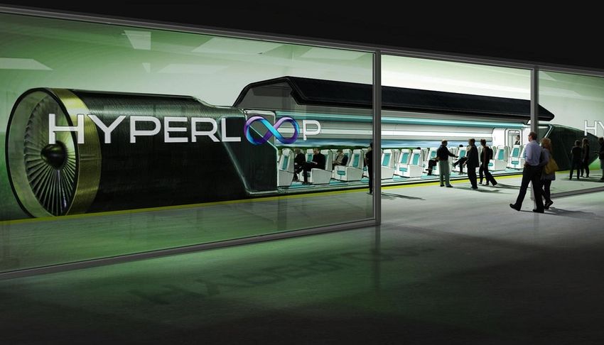
Posted inTransportation Engineering National and international highway systems Posted by admin August 9, 2021 The Romans had realized that a coordinated system of roadways connecting the major areas of…
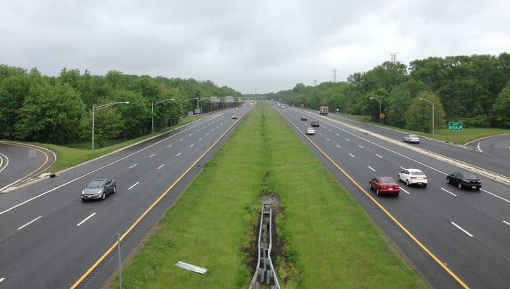
Posted inTransportation Engineering New highways Posted by admin August 9, 2021 The parkway The achievement of such a system in the automobile age required a new form…
Posted inTransportation Engineering Changes in finance Posted by admin August 9, 2021 From corvée to toll Through the millennia, responsibility for financing and building roads and highways…
Posted inTransportation Engineering New paving materials Posted by admin August 9, 2021 When urban street paving became widespread in the latter half of the 19th century, the…
Posted inTransportation Engineering Roads in the age of the automobile Posted by admin August 9, 2021 Beginning in the 1840s, the rapid development of railroads brought the construction of lightweight Trésaguet-McAdam…
Posted inTransportation Engineering Early U.S. road systems Posted by admin August 9, 2021 The Lancaster Turnpike The first engineered and planned road in the United States was the Lancaster Turnpike, a…