Posted inAdvanced


Posted inSurveying
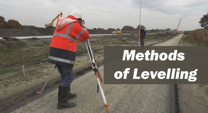
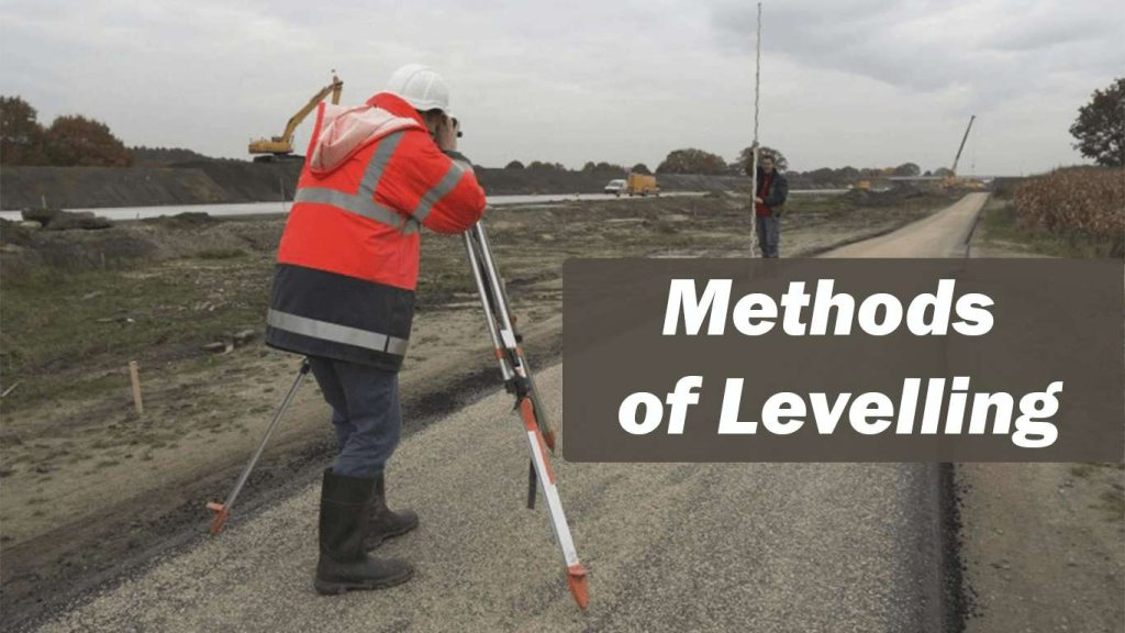
TYPES OF DIRECT LEVELLING
The following are the different types of direct levelling: (i) Simple levelling (ii) Differential levelling…
Building the Future, One Structure at a Time.