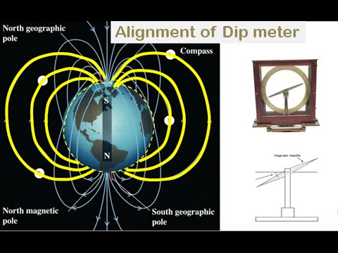
Posted inSurveying DECLINATION AND DIP Posted by admin August 9, 2021 The magnetic meridian and the true meridian may not coincide with each other in a…
Posted inMechanics of Solids BEARING Posted by admin August 9, 2021 As stated earlier a bearing of a line is the angle made by the line…
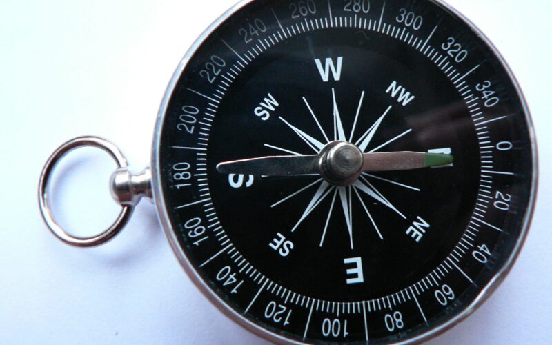
Posted inSurveying METHOD OF USING A COMPASS Posted by admin August 9, 2021 To take a reading from a compass, the following temporary adjustments are required: (i) Centring: The…
Posted inSurveying TYPES OF COMPASS Posted by admin August 9, 2021 The types of compass that are used commonly are: (i) prismatic compass; and (ii) surveyor…
Posted inSurveying Compass Surveying Posted by admin August 9, 2021 Disadvantage of chain surveying is that, in it only distances are measured and hence area…
Posted inSurveying TAPE CORRECTIONS Posted by admin August 9, 2021 The following five corrections may be found for the measured lengths of tape: (i) Corrections for…
Posted inSurveying ERRORS IN CHAINING Posted by admin August 9, 2021 Errors in chaining may be classified as: (i) Personal errors (ii) Compensating errors, and (iii)…
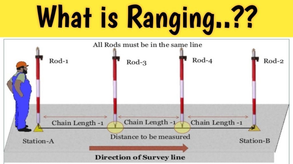
Posted inSurveying RANGING Posted by admin August 9, 2021 When a survey line is longer than a chain length, it is necessary to align…
Posted inSurveying Field Work Posted by admin August 9, 2021 As soon as the survey party arrives in the field the following details are entered…
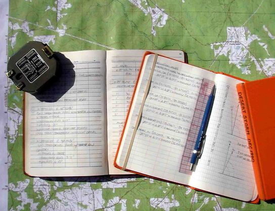
Posted inSurveying Field Book Posted by admin August 9, 2021 All observations and measurements taken during chain surveying are to be recorded in a standard…